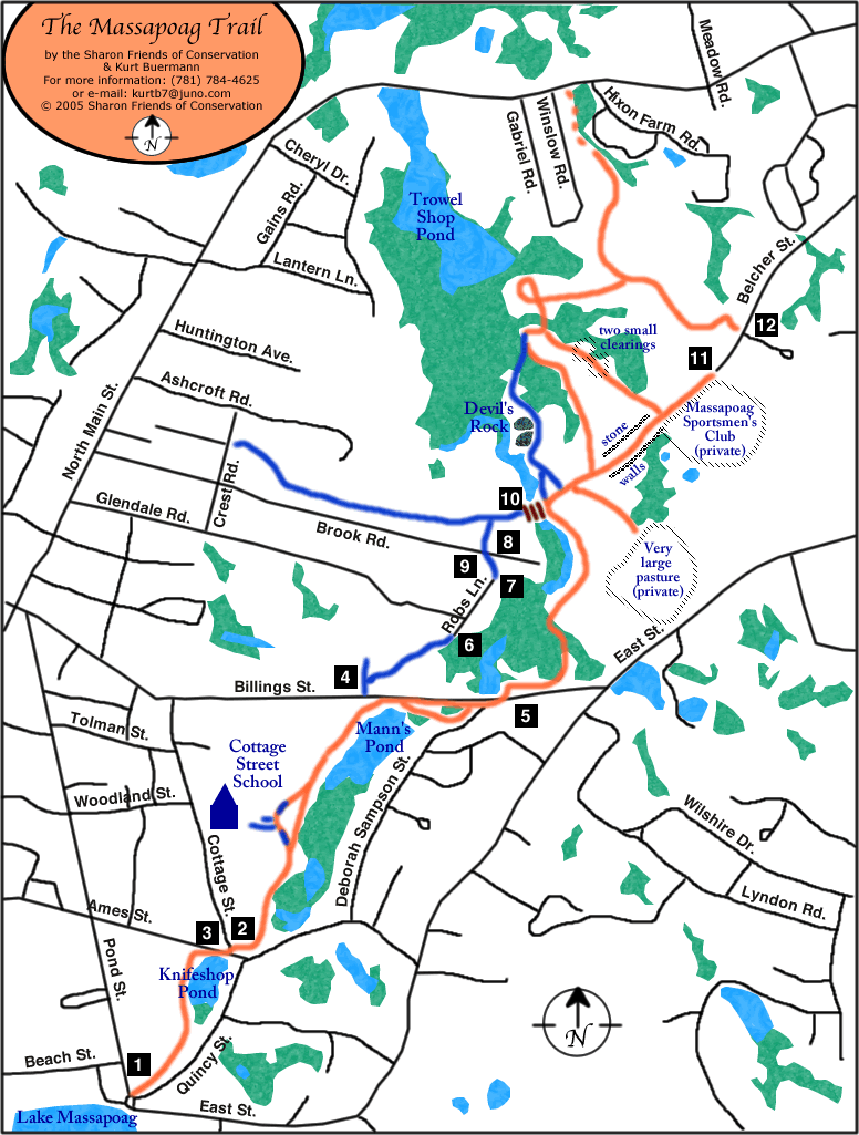
Massapoag Trail
Lake Massapoag to North Main Street (Rte. 27). Click on the numbers on the map for photos of trail entrances and features.
Now available: Detailed 11″ x 17″ color trail map of Sharon’s Massapoag trail area. Map includes topographic information as well as trail guide and commentary. Massapoag Trail map includes photos. The price is $3.50 which equals our costs of printing and mailing.
Please contact:
Kurt Buermann
45 Furnace St.
Sharon, MA 02067
View a clip of a walk down the Massapoag Trail and up Devil’s Rock.